A tremendous amount of work at the District Department of Transportation (DDOT) is done behind the scenes long before crews break ground on construction projects. Our planning staff designs new projects and guides them from concept to engineering. Their studies also help identify necessary improvements and help shape the District’s transportation policies. See also the Livability Studies. At the same time, DDOT’s Research, Development, and Technology Transfer Program promotes innovative solutions to transportation problems and works with other department staff to integrate new technology into DDOT’s projects.
The District is a leader in transportation innovation and welcomes the opportunity to conduct research on its streets. Researchers and innovators seeking to pilot, test, or demonstrate new technologies and approaches should complete the initial application for gathering ideas. This application helps researchers and companies focus their proposals based on DDOT’s values and allows DDOT to prioritize and test ideas most relevant to the needs of the residents, businesses, and visitors of the District. Complete the application here.
DDOT funds and conducts a small number of applied research projects annually. Problem statements are accepted year-round; however, research project ideas are selected annually, beginning in June. To move forward, DDOT-funded projects must have a DDOT staff willing to champion the project. The Research Program will identify champions for submitted ideas. Please submit your ideas to [email protected] using this project statement template.
Studies
1st Place and Galloway St, NE Transportation Access Study and Improvement Plan
The primary goal of the project is to improve circulation so all modes can safely access and navigate the station area as the surrounding neighborhood evolves and increases the demand for the use of the Fort Totten Metrorail station.

16th Street NW Transit Priority Planning Study
The District Department of Transportation (DDOT) is undertaking a planning study of 16th Street, NW, between H Street and Arkansas Avenue, to improve transit performance and reliability in one of the highest in the region for bus ridership.

accessDC Study
The accessDC Study will identify ways to offer people with disabilities and older adults in the District of Columbia better access to multiple transportation services.
 Adams Morgan Streetscape Project
The Adams Morgan Streetscape Project includes the 18th Street corridor from Florida Avenue to Columbia Road in Adams Morgan.

Alabama Avenue SE Corridor Safety Study
The study area for Alabama Avenue SE is four miles and extends along Alabama Avenue SE from Bowen Road to Martin Luther King Jr. Avenue.

Anacostia Waterfront Transportation Master Plan
The District Department of Transportation (DDOT) is helping to transform the Anacostia Waterfront into a better place for citizens to live, work, and play. As part of the Anacostia Waterfront Initiative (AWI), DDOT is pursuing a plan to reshape the area’s transportation network into one that provides easy access for residents, commuters, and visitors and improves the area’s environmental quality.
Brookland-Edgewood Livability Study
The District Department of Transportation (DDOT) completed a six-month livability study of the Brookland and Edgewood areas. DDOT livability studies seek to improve daily quality of life by taking a big picture look at the street network and by identifying actions to improve transportation connectivity, safety, and accessibility.

Capitol Hill Transportation Study
This report summarizes the findings and recommendations of a study that evaluated options for improvements in the Capitol Hill Corridor.

Connecticut Avenue Multimodal Safety Improvement Project
The Connecticut Avenue Multimodal Safety Improvement Project was initiated in December 2019. DDOT has conducted data analysis, concept development and evaluation, traffic forecasts, and operations analysis. Throughout the project, DDOT has met with approximately 70 stakeholder and agency groups to provide project updates and obtain feedback.

Curbside Management Study
DDOT's Curbside Management Study provides a framework to guide future parking reform efforts by expanding on DDOT's "2012 Parking Think Tanks" and featuring additional data and user preferences for parking access.

Downtown West Transportation Study
DDOT is undertaking a planning study of the western portion of downtown to improve east-west travel for cyclists, pedestrians, and buses.

Eastern Downtown Protected Bike Lane Study
DDOT is studying potential alternative designs for a protected bike lane that would provide a low-stress bicycling connection between central DC neighborhoods, such as Shaw and Bloomingdale, and downtown.

Far Northeast Livability Study
Far Northeast DC consists of 12 distinct but interrelated neighborhoods east of the Anacostia River and north of East Capitol Street in Ward 7. These neighborhoods are home to approximately 30,000 residents.

Far Southeast II Livability Study
The Far Southeast II Livability Study's study area is located in the southeast section of the District of Columbia, with the majority of the area in Ward 7.

Georgetown Transportation Study map
Picturesque, but with an underlying pulse of activity that is the lifeblood of this community. Georgetown is where you live, work, play and learn. It is a historic community that has always kept pace with the times.

Glover Park Transportation Study
The Glover Park Transportation study is complete. This study analyzed the existing transportation system and recommended projects to improve safety and access for pedestrians, bicyclists, motorists and transit users throughout the neighborhood.
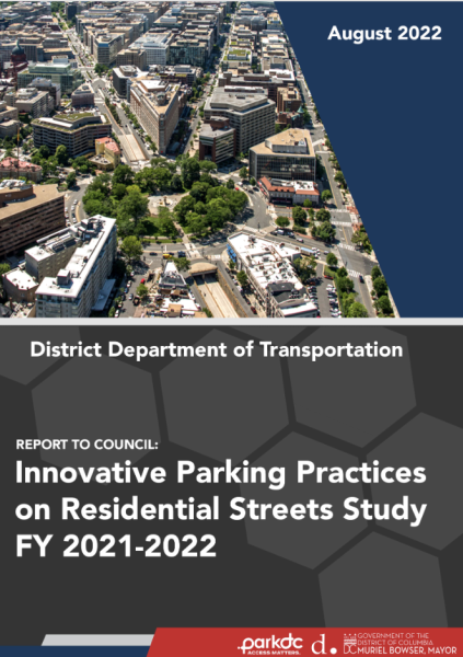
 Innovative Parking Practices Residential Streets Study FY 2021-2022
Pursuant to the Residential Parking Study Emergency Act of 2021, the District Department of Transportation (DDOT) was tasked with conducting a study of parking practices on residential streets. The scope of the study focuses on residential streets near major commercial centers.

Kenilworth Avenue Corridor Transportation Study
This report summarizes the findings and recommendations of a study that evaluated options for improvements in the Kenilworth Avenue Corridor.
Long Bridge Study
The purpose of the Long Bridge Study is to complete a comprehensive report on the Long Bridge, a two-track railroad bridge constructed in the late 19th and early 20th centuries. The report will include the identification of short-term needs and long-term capacity improvements.

Lower Georgia Avenue Transportation and Streetscape Improvements
This project examined a specific portion of the entire Georgia Avenue Great Streets corridor: Georgia and Sherman Avenues from Florida Avenue NW to New Hampshire Avenue NW.

M Street SE-SW Transportation Study
The M Street SE/SW Transportation Study is identifying current and future transportation challenges and ways to address them within a roughly 1.7-square-mile area along M Street SE/ SW, and the Southwest waterfront.
 Managed Lanes Corridor Project Feasibility Study
The Managed Lanes Project studied the Rochambeau Bridge/14th Street, Southwest Freeway (I-395) / Southeast Freeway (I-695), and I-295 independent corridors to provide predictable travel time and promote multi-modal and HOV use while minimizing impacts to right of way and District residents.

Mid City East Livability Study
The Mid City East Livability Study seeks to improve physical connectivity among the neighborhoods of Mid City East and their connections to the opportunities and assets of the larger city.
Mt. Pleasant Transportation Study
The Mount Pleasant transportation study is complete. This study provides information and recommendations to improve transportation and pedestrian conditions in the Mount Pleasant neighborhood.
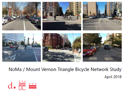
 NoMa / Mount Vernon Triangle Bicycle Network Study
DDOT completed the final draft of a study to identify opportunities for continuous and consistent east-west bicycling accommodations through the NoMa and Mount Vernon Triangle areas. DDOT is accepting public comments on the report until July 31, 2018.

Pennsylvania Avenue SE Transportation Study
DDOT conducted this study to examine the current and future traffic conditions in Pennsylvania Avenue, SE.

Petworth Parking Management Plan
New development around the Georgia Avenue/Petworth metro rail station is anticipated to create additional trips to the area. While many of these trips will be served by metro rail and bus, it is possible that the land use changes will also increase pressure on surrounding on-street parking resources.
Rhode Island Avenue NE Streetscape Master Plan
The overall intent of the Rhode Island Avenue NE Streetscape Master Plan was to create a pedestrian-friendly environment with amenities that enhanced the pedestrian experience.

Rock Creek West II Livability Study
The Final Report was completed in February 2011. It is a comprehensive summary of the work done and conclusions reached during the Rock Creek West II study. The Appendices contain supporting detailed technical information, including public comments and design drawings.

South Dakota Avenue Transportation and Streetscape Study
DDOT and a consulting team from Wilbur Smith & Associates and KLS Engineering have embarked on a study of the South Dakota Avenue corridor from Hamilton Street, NE, to V Street, NE.

Traffic Operations and Parking Plan for Nationals Park
DDOT conducted this study to provide guidance on how people will travel to the Washington Nationals Ballpark.
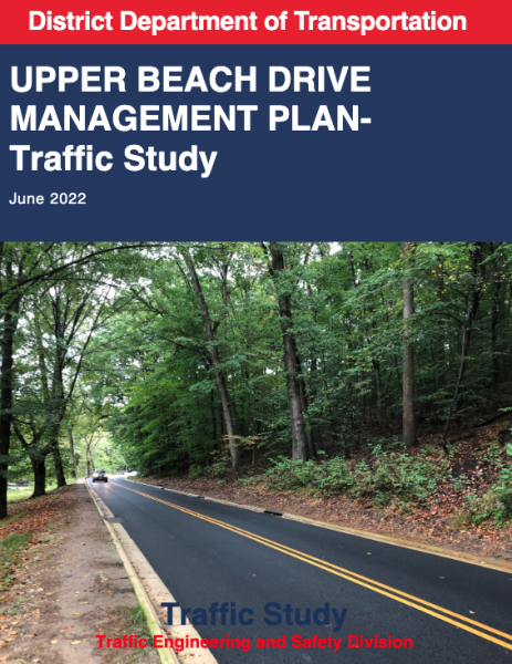
 Upper Beach Drive Management Plan - Traffic Study
A DDOT 2021 Traffic Study that assessed the impact of Upper Beach Drive closure, recommending mitigations and roadway improvements to reduce neighborhood impact and identifying potential traffic, congestion, and emissions impacts.

